


15,9 km | 21 km-effort

Benutzer


Kostenlosegpshiking-Anwendung
 SityTrail
IGN / Geografische Institute
SityTrail World
Die Welt öffnet sich für Sie
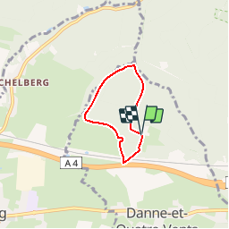
Tour Wandern von 3,7 km verfügbar auf Großer Osten, Mosel, Dann und Vierwinden. Diese Tour wird von tracegps vorgeschlagen.
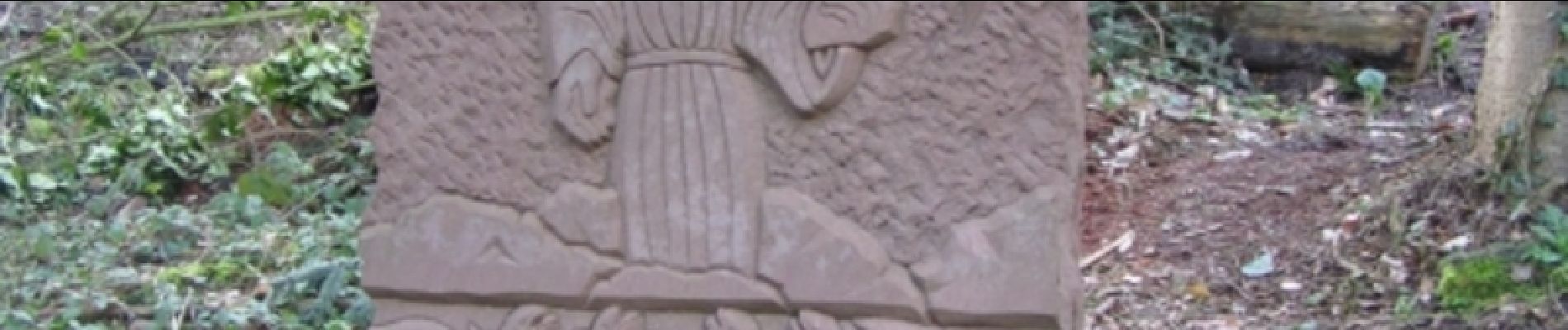
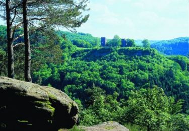
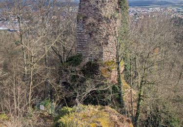
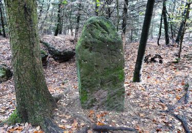
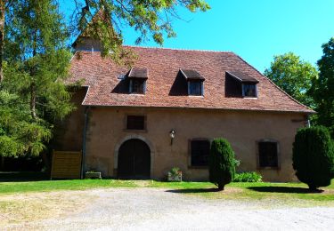
Le Sentier circulaire des 7 Sculptures est un itinéraire d'interprétation en forêt sur le thème de l'eau. 7 stèles de grès sculptées d'environ 300 kg illustrent fables de La Fontaine, écrits d'Erckmann-Chatrian, passages de la Bible, ... Chacune de ces sculptures est complétée d'un panneau explicatif en français et traduit en allemand permettant de jalonner l'itinéraire. Le circuit démarre à Bonne Fontaine, lieu de pèlerinage, proche du couvent des pères franciscains, situé aux abords du village de Danne-et-Quatre-Vents, entre Phalsbourg et Saverne. Retrouvez d’autres informations sur Phalsbourg


Wandern
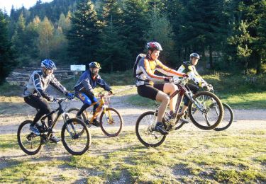
Mountainbike
Wandern
Wandern
Zu Fuß
Zu Fuß

Zu Fuß
Zu Fuß
Zu Fuß